todaystudio

Lifesaving Signs: A Crucial Element of Maritime Safety

When it comes to maritime safety, every second counts. In emergency situations, clear and effective communication can mean the difference between life and death. Lifesaving signs are essential tools that guide passengers and crew members to safety, ensuring they know exactly where to go and what to do when disaster strikes. These signs are critical […]

Lifesaving Signs: A Crucial Element of Maritime Safety Read More »

NavStation – Weather Routeing

Leading the way in weather NAVTOR has joined forces with Weather News International (WNI) to integrate Optimum Ship Routeing (OSR) into NavStation for a powerful, efficient and seamless solution. Our new weather routeing module, powered by WNI, the world’s leading private weather service company, combines high-quality data and best-in-class ship routeing visualisation and optimisation with

NavStation – Weather Routeing Read More »

NavFleet – New release 2.0

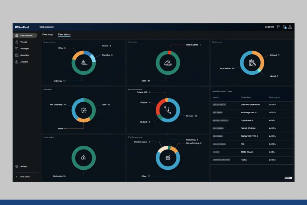
NavFleet 2.0 elevates your fleet monitoring with enhanced notifications, port weather forecasts, and comprehensive event loggingWe are excited to announce the release of NavFleet 2.0, featuring innovative features designed to give onshore teams the best tools for monitoring and optimizing their fleet operations. This latest version introduces a new comprehensive notfication system, an advanced port

NavFleet – New release 2.0 Read More »

Our Experience at the Cruise Ship Interiors Expo Miami 2024

We had the pleasure of participating in the Cruise Ship Interiors Expo Miami 2024, held from June 6-7 at the Miami Beach Convention Center. The event brought together a diverse group of professionals from the cruise ship industry, including designers, suppliers, and shipbuilders. At the expo, we showcased our latest products and solutions. Our booth

Our Experience at the Cruise Ship Interiors Expo Miami 2024 Read More »

NavFleet – ENC Online

Get Your Charts Online: Introducing ENC Online Service Streamline your nautical charting with ENC Online Service! This innovative service delivers worldwide Electronic Navigational Charts (ENCs) directly to your internet-connected shoreside systems, offering a convenient and cost-effective solution. Built with Flexibility in Mind OGC TileAPI Standard: ENC Online utilizes the Open Geospatial Consortium’s TileAPI standard, making

NavFleet – ENC Online Read More »

Scroll to Top